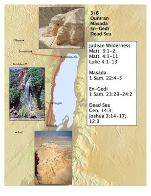
Yesterday, I talked about how my wife and I will be touring Israel with a tour which includes several other members of the Accordance team. While we’re away, I wanted my children to have a way to know where we would be each day and share in what we’ll be learning. So I used the Accordance Atlas to create a series of custom maps showing where we would be each day. Here’s one example:
First, I created some Custom Site Layers containing every site we’ll be visiting. There were so many sites that I had to create two custom site layers and combine them into a Site Set. I then displayed that site set on the map.
Next, I created a user layer for each day of the trip. I then used the built-in drawing tools to add lines showing the approximate routes we’ll be taking, to highlight locations, and to add text labels. Finally, I copied some representative images from the Bible Lands PhotoGuide and pasted them into each user layer.
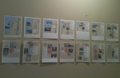
When I was finished with these maps, I printed them out and taped them to a wall in sequence. That way, the kids can see where we’ll be each day. I’ve asked their grandma to take each day’s map off the wall and have the kids read through the Bible verses which mention the sites we’ll be visiting that day. Hopefully when my wife and I get home and we can’t stop talking about the places we’ve been, our children will be somewhat familiar with those places too.


