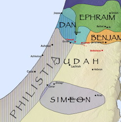
Last week, I pointed out how the Accordance Bible Atlas lets you create custom maps that show information you won’t normally find in a print atlas or a software program that offers only static maps. The final map I showed combined several layers of information, and a user pointed out that there were some places where the labels overlapped. So I followed up that post by showing how tweaking one of the layers eliminated all but one of the label conflicts. In today’s post, I want to show how to eliminate that last conflict.
In the map above, you can see that the name Beer-sheba conflicts with the label for the tribal territory of Simeon. Since Beer-sheba is an important site, and since Simeon was a minor tribe located entirely within the borders of Judah, one way to resolve the conflict is to remove Simeon from the Tribes of Israel region layer. To do this, select Define Region Layers… from the Region layer pop-up menu of the Atlas.
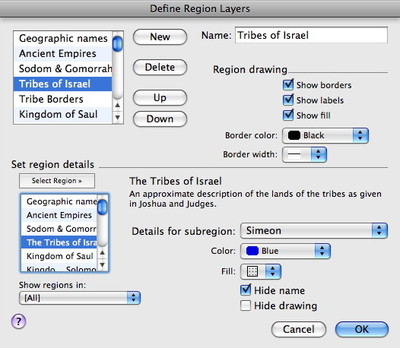
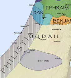
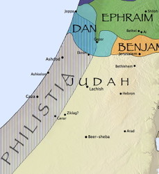
In the dialog that appears, select Tribes of Israel in the list of layers at the top left corner. In the bottom left corner of the dialog box, you’ll see a description of the layer and a pop-up menu which lets you choose the various subregions. In the Tribes of Israel region, each tribal territory is a subregion you can modify individually. Select Simeon in this pop-up menu, and you can choose to hide the label for that subregion while showing its borders, or you can hide both the name and the drawing of the borders to hide the subregion altogether. Here’s how each option looks:
Once again, knowing how to tweak layers like this enables you to get a map which shows the information you need while eliminating potential label conflicts.


