Atlas of the European Reformations / January 01, 2015
Requires Accordance 10.4 or above.
For even more information, see this release announcement.
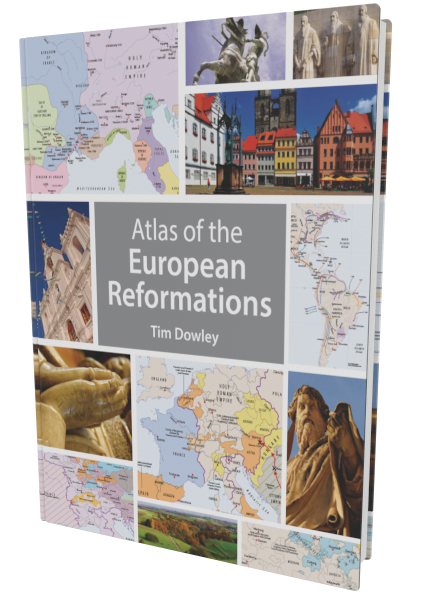
A new, definitive atlas of the European Reformations has been needed for many years. Now, coinciding with the reformation anniversaries, Fortress Press is pleased to offer the Atlas of the European Reformations (and a Study Guide).
The Atlas of the European Reformations is newly built from the ground up. Featuring more than sixty brand new maps, graphics, and timelines, the atlas is a necessary companion to any study of the reformation era. Consciously written for students at any level, concise, helpful texts guide the experience and interpret the visuals. The volume is perfect for independent students, as well as those in structured courses.
The atlas is broken into four primary parts.
- “Before the Reformation” presents the larger political, religious, and economic context of Europe on the eve of the Reformation.
- “Reformation” presents the major contours of the Reformation, including Lutheran, Reformed, English, and Anabaptist movements.
- “Catholic Reform and Counter-Reformation” provides extensive information on the reforming movements within Catholicism and the responses to other movements.
- Finally, “Early Modern Europe” sheds fresh light on the movement and implications of the reformation in the later sixteenth and seventeenth centuries.
A Study Guide is also available.
You may also be interested in the companion volume, Atlas of Christian History.
Product Details
- Authors: Tim Dowley
- Publisher: Fortress Press
- Publish Date: January 1, 2015
- Categories: History, Image Rich Tools
- Min Acc Version: 10.4
Where to Find
Atlas of the European Reformations is included with the following packages
| Category | Code | Title | Price |
|---|---|---|---|
| Primary Collections | Coll12-EngMaster0717 | English Master Collection (Accordance 12) (July 2017) | 27999.00 |
| Primary Collections | Coll12-EngMaster1017 | English Master Collection (Accordance 12) (October 2017) | 29999.00 |
| Primary Collections | Coll12-EngMaster0218 | English Master Collection (Accordance 12) (February 2018) | 30899.00 |
| Primary Collections | Coll12-EngMaster0518 | English Master Collection (Accordance 12) (May 2018) | 31599.00 |
| Primary Collections | Coll12-EngMaster0818 | English Master Collection (Accordance 12) (August 2018) | 33399.00 |
| Primary Collections | Coll12-EngMaster1118 | English Master Collection (Accordance 12) (November 2018) | 33999.00 |
| Primary Collections | Coll12-EngMaster0319 | English Master Collection (Accordance 12) (February 2019) | 34399.00 |
| Primary Collections | Coll12-EngMaster0519 | English Master Collection (Accordance 12) (May 2019) | 35549.00 |
| Primary Collections | Coll13-EngMaster1119 | English Master Collection (Accordance 13) (November 2019) | 36999.00 |
| Primary Collections | Coll13-EngMaster0420 | English Master Collection (Accordance 13) (April 2020) | 37499.00 |
| Primary Collections | Coll13-EngMaster0720 | English Master Collection (July 2020) | 42568 |



(verified owner) Ukfraser
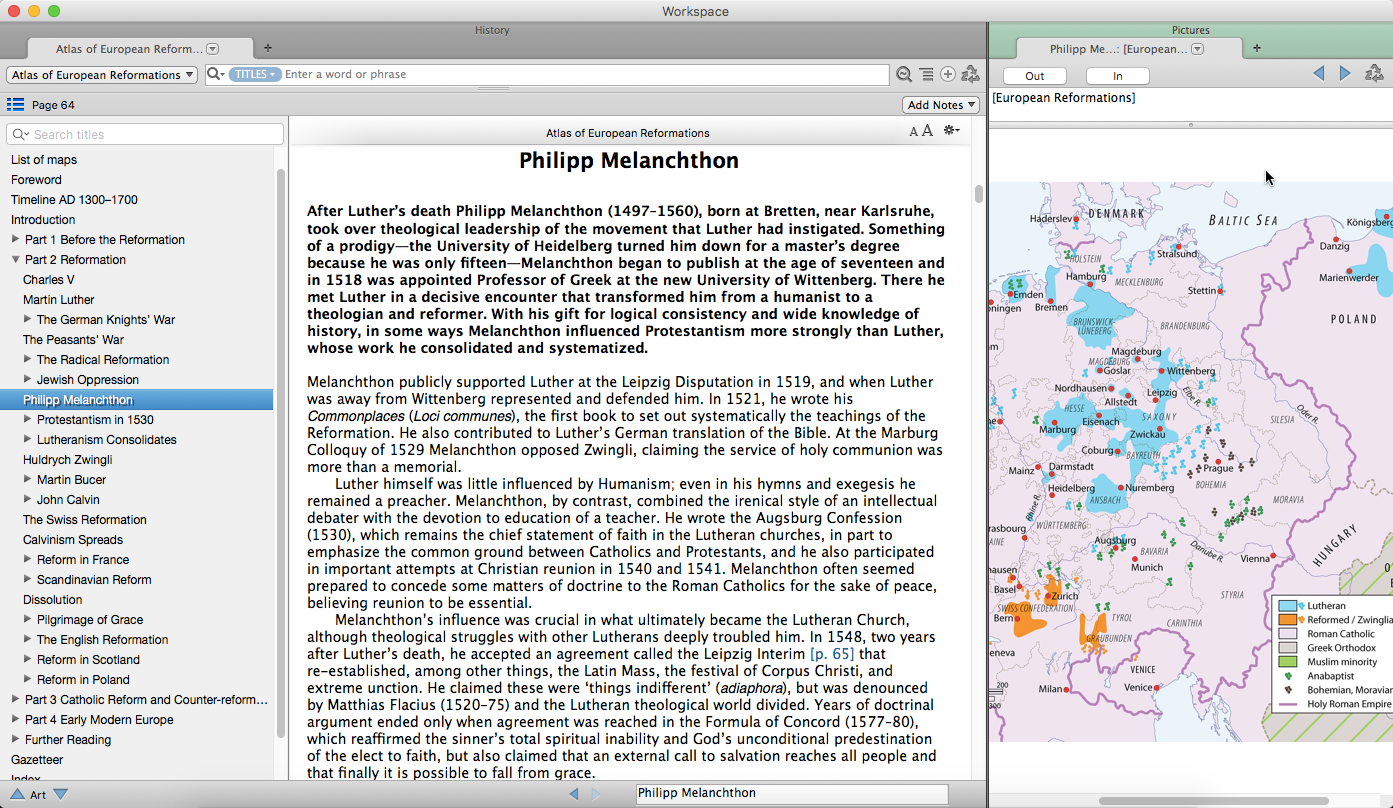
The format of this resource is one page of text and a map. There are about 60 maps and a very useful timeline.
The cartography sets a new standard and is clear and detailed and contains additional information to the text. It is worth getting this volume for the maps alone.
With the text being limited to one page, it is incredibly readable but does not go into as much detail as some may want. Its very much an overview or introduction to the subject. Having said that, it does cover an important time in Christian history.
Because the text supports the maps, i found the information may be spread over several pages to get a complete picture and i found that some additional tagging on the various meeting would have helped but accept that the accordance team had to draw the line somewhere. All the characters attending the meetings have their dates but again, for example Zwingli is mentioned in a part of the text with no link to the page where he has his own entry.
For me the major omission the text states “In August 1642, Charles I left London to raise his standard at Nottingham.” but the important city of Nottingham ISN’T included on map 57! Hopefully this will be corrected on a future reprint!!!!!!